Santo Antão: Cape Verde’s Green Paradise Island

This destination guide covers my visit to the green paradise island of Santo Antão, one of the islands that make up the Cape Verde archipelago.

A visit to Santo Antão

Situated off the coast of Senegal in West Africa, Cape Verde (called Cabo Verde in Portuguese) is an archipelago consisting of nine inhabited islands.

I’ve always wanted to visit Cape Verde, particularly the islands of São Vicente and Santo Antão.

São Vicente is the place of birth of one of my favourite music artists, the great singer Cesária Évora, while the nearby island of Santo Antão got me hooked because of some pictures I saw of its wonderful nature.
When I began planning the trip and read more about Santo Antão, this remote island started to intrigue me even more.

The long way to Santo Antão

Getting to Santo Antão isn’t easy though, as the island has no airport and can only be reached by ferry from the city of Mindelo on the island of Santo Antão.

Besides, Cape Verde is generally quite a distance away from Europe, with flights taking 6 to 7 hours from Western European airports.

Although Cape Verde’s capital of Praia on the island of Santiago has an airport, as has Mindelo on São Vicente, there are only a small number of airlines flying here from Europe.

Sal and Boavista attract a larger number of flights from Europe, as these islands are popular winter destinations among European package tourists looking for a sunny beach break.

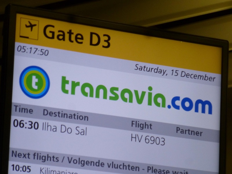
Indeed, by far the cheapest option of getting to Cape Verde was to take a charter flight to the archipelago, in my case a Transavia flight from Amsterdam to Sal.

I was joined by two of my best friends, who also fancied the idea of some winter sun in an exotic destination.

After a few days relaxing on the island of Sal, I boarded a small ATR 42 turboprop for the short flight to São Vicente.

São Vicente Airport, which serves the city of Mindelo, was renamed Cesária Évora Airport in honour of Cape Verde’s most famous daughter, who passed away in 2011.

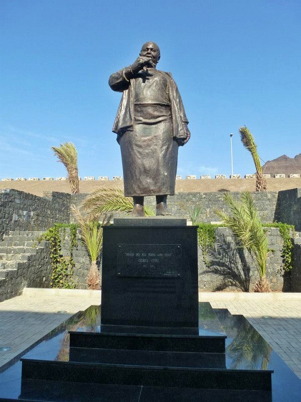
In front of the airport terminal there is a statue of Cesária Évora singing, which she always did on bare feet, with frequent breaks for a smoke and drink, earning her the nickname ‘the barefoot diva’.

transavia flight ilha do sal
Boarding a Transavia flight from Amsterdam to the island of Sal in Cape Verde. ©Paliparan
salt mine sal cape verde
The old salt mine on the island of Sal. ©Paliparan
sal santa maria beach sunset cape verde
Sunset over Santa Maria beach, island of Sal, Cape Verde. ©Paliparan
Sal Airport São Vicente flight Cape Verde airlines
Boarding an ATR 42 turboprop for the flight from the island of Sal to São Vicente. ©Paliparan
Cesária Évora statue
Statue of Cesária Évora at São Vicente Airport. ©Paliparan

A look around Mindelo

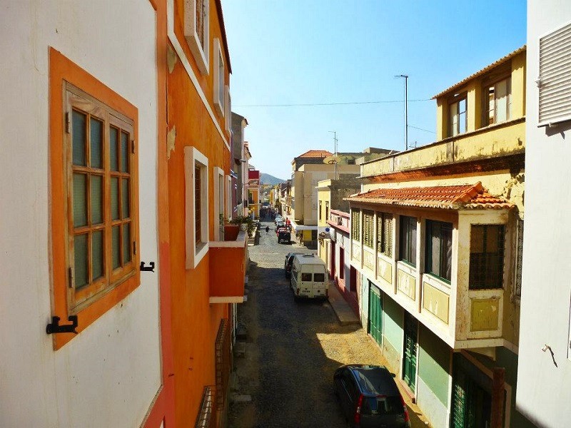
Mindelo is the largest city on the island of São Vicente and the cultural capital of Cape Verde.

It’s a vibrant city with beautiful Portuguese colonial architecture, excellent restaurants, and lively bars.

Spending some days in Mindelo or elsewhere on São Vicente before you head onward to Santo Antão is therefore hardly a crime.

mindelo cape verde colonial architecture
Colonial Portuguese architecture in the town of Mindelo. ©Paliparan
mindelo street
Streets of Mindelo. ©Paliparan

Ferry to Santo Antão

The Port of Mindelo is the departure point for the ferry to Porto Novo on the island of Santo Antão, with ferries now departing twice a day, taking one hour for the crossing.

After a yummy lunch with my friends in the passenger terminal, we could finally board the Armas ferry ‘Mar d’Canal’ that would sail us across the Canal de São Vicente (São Vicente Strait) to Santo Antão.

The ageing ferry was perfectly suitable for the short crossing, although once in open waters, the sea did become quite choppy due to strong winds coming from the vast expanses of the Atlantic Ocean.

After a while, the harbour of Porto Novo and the town’s black volcanic beach came into view.

port of mindelo cape verde
The Port of Mindelo. ©Paliparan
ferry terminal mindelo
Lunch in the ferry terminal. ©Paliparan
mar d'canal ship ferry cape verde santo antao
Boarding the Armas ship Mar d’Canal. ©Paliparan
mindelo cape verde
Sailing out of Mindelo. ©Paliparan
Santo Antão ferry
Crossing the Canal de São Vicente, the strait separating the islands of São Vicente and Santo Antão. ©Paliparan
mar d'canal ferry
Local people on board the ferry. ©Paliparan
porto novo Santo Antão
Approaching Porto Novo on Santo Antão. ©Paliparan

Porto Novo

With just under 10,000 inhabitants, Porto Novo is the largest town on the island of Santo Antão.

Although Porto Novo has all the facilities you might need such as a bank, as well as a good choice in bars, restaurants and accommodation options, it isn’t the prettiest town.
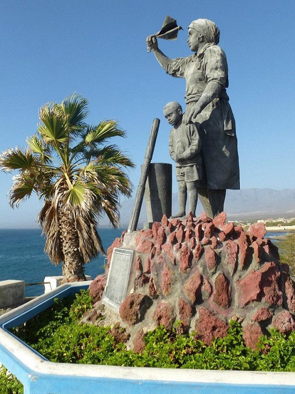
However, do take a look at the Monumento Mê Maia, a statue depicting a mother and child waving goodbye to their husband and father.

The monument serves as a tribute to emigration, a reality well-known to many in the archipelago, as most have friends and family who have moved abroad in search of better opportunities.

Indeed, while enjoying a dinner of cachupa (a rich bean stew that is the national dish of Cape Verde), a man seated at the opposite table suddenly approached us in our native Dutch language.

It turned out that he was an emigrant himself who had moved to the city of Rotterdam in the Netherlands and was back on the island to visit family.

While it’s not surprising that Portugal, being the former colonial overlord, has the largest Cape Verdean diaspora, significant Cape Verdean communities also exist in Paris, Rotterdam, and Luxembourg.

porto novo cape verde
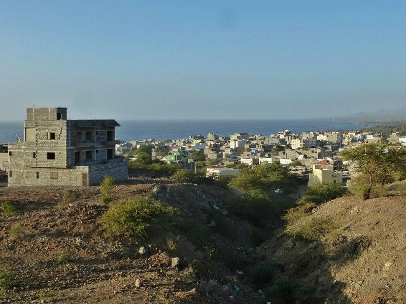
View over Porto Novo. ©Paliparan
porto novo beach
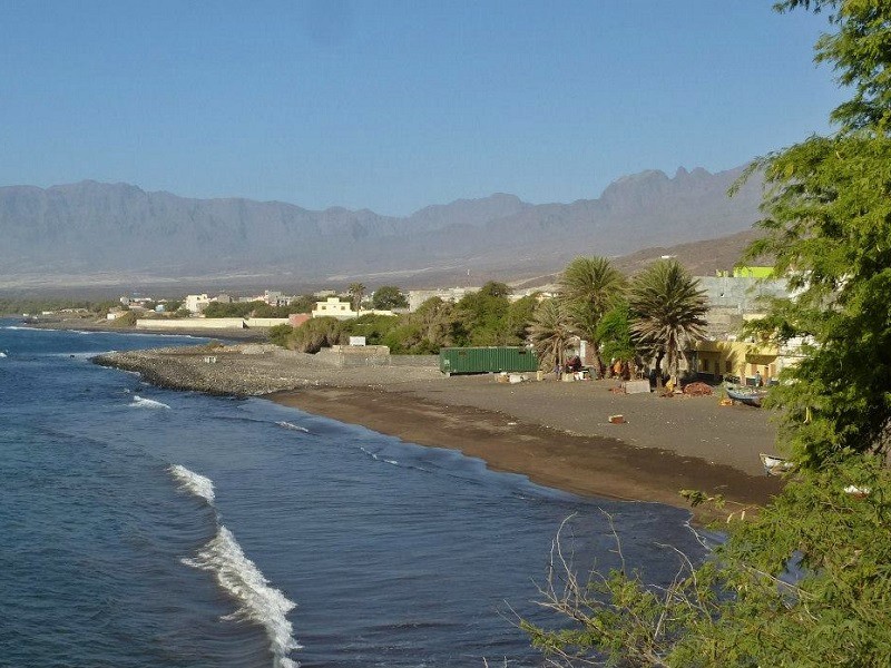
Beach in Porto Novo. ©Paliparan
Monumento Memaia porto novo
Monumento Mê Maia. ©Paliparan

A road trip around Santo Antão

Although there is limited public transport, you need a rental car if you want to properly explore Santo Antão.

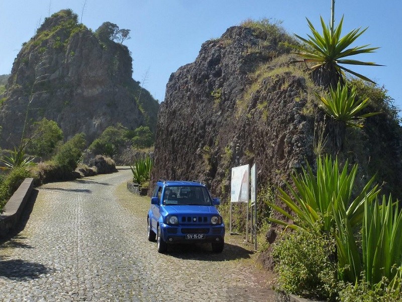
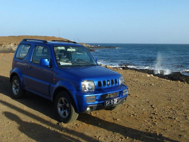
Without any prior reservation, we easily managed to get our hands on some wheels and rented a Suzuki Jimmy in Porto Novo.

With some Cesária Évora songs blasting from the stereo, we set off on our tour around the island.
rental car cabo verde
A rental car comes in handy if you want to explore the island. ©Paliparan

Mountain road

To kick off our road trip across the island of Santo Antão, we took the main road from Porto Novo on the southern coast across the mountains to Ribeira Grande, the largest town on the northern coast.

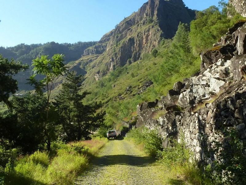
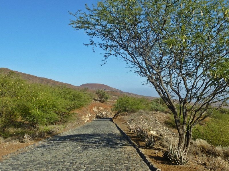
Even though almost all the main roads on Santo Antão are made from cobblestones, they are in good condition for driving.

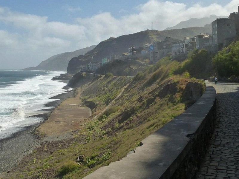
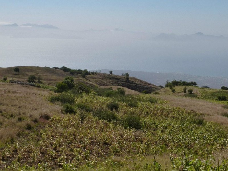
Just a short distance from Porto Novo, we were treated to lovely views over the southern coastline, with the São Vicente Strait covered by sea fog.

With every passing mile, the views kept on getting better.

Once you reach a higher point, you truly begin to see why Santo Antão is such a paradise-like island, with the wild volcanic mountains becoming visible.

At times, it almost feels like you are in Hawaii, as the steep mountains of Santo Antão bear a striking resemblance.
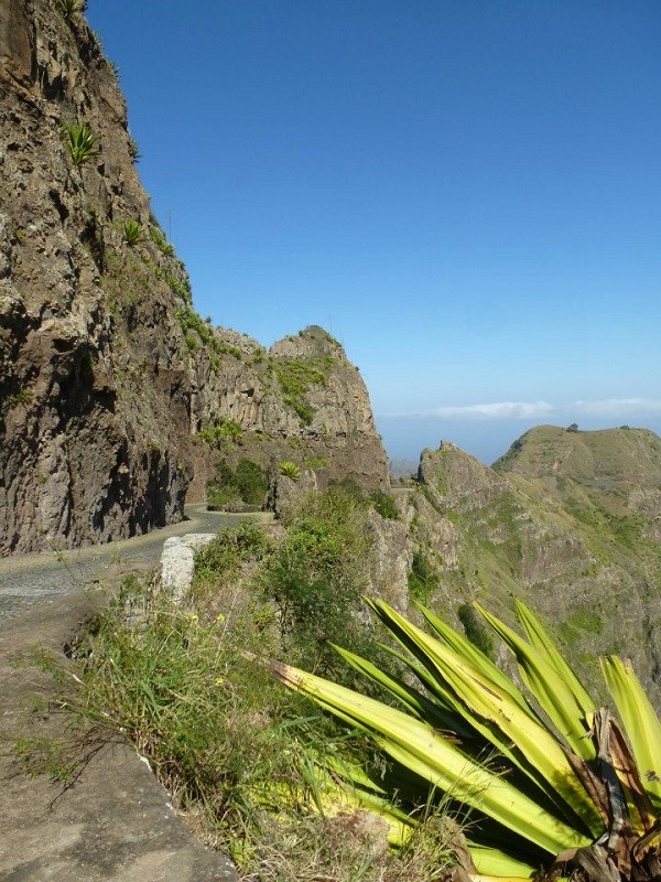
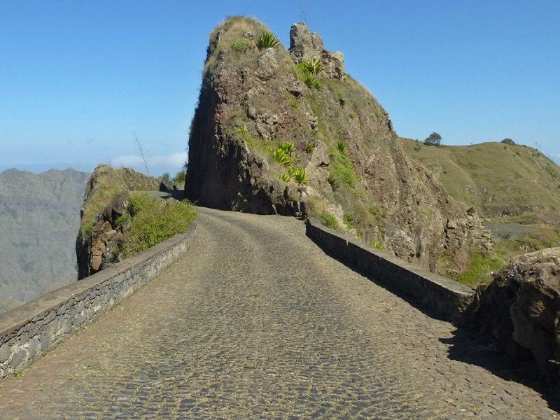
The most astonishing part of the journey is driving across the Delgadinho Mountain Ridge, as from both the left and right sides of the road, there is a sharp drop down the cliff.

The road from Porto Novo to Ribeira Grande on Santo Antão really is the single most amazing drive I’ve ever done in my life, as it’s absolutely breathtaking from start to finish.

road Santo Antão
Road on Santo Antão. ©Paliparan
São Vicente
Fog over the Canal de São Vicente, with the contours of the island of São Vicente being visible across the strait in the far distance. ©Paliparan
island road Santo Antão
Driving up the mountain road to the north side of the island. ©Paliparan
Santo Antão island mountain road
As the views from the mountain road are amazing, you do probably want to make frequent stops for pictures. ©Paliparan
Santo Antão paradise island Cape Verde mountain road scenery
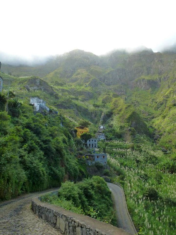
Crossing the Delgadinho Mountain Ridge on the amazing mountain road from Porto Novo to Ribeira Grande on the island of Santo Antão. ©Paliparan
Santo Antão island mountains
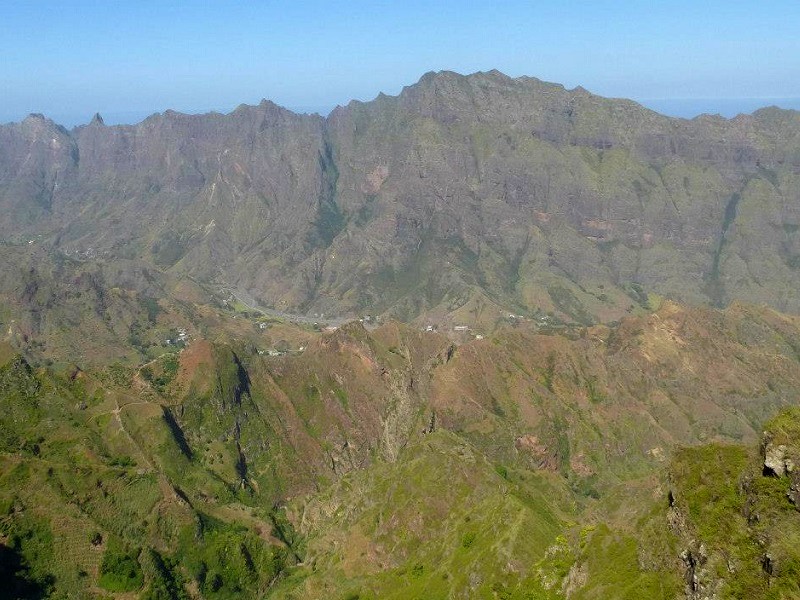
View over the mountainous interior of the island. ©Paliparan

Cova

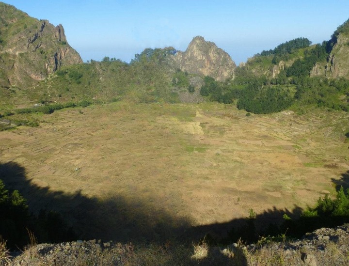
Around the halfway mark on the road from Porto Novo to Ribeira Grande, there is a viewpoint overlooking Cova, a volcanic caldera with a width of one kilometre.

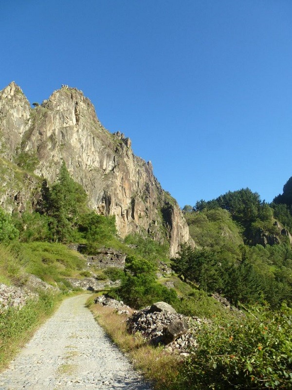
A road, as well as a couple of hiking paths, leads down into this fertile crater, where maize and beans are cultivated among other crops.

You will pass by several points from where you can enjoy stunning views over the rugged mountain interior of the island of Santo Antão.
covo crater
The Covo caldera. ©Paliparan
cova caldera Santo Antão island
Driving down the Cova caldera. ©Paliparan
caldera road santo Antão island
Road inside the caldera. ©Paliparan
cova road
Cova road. ©Paliparan
volcanic mountains caldera Santo Antão paradise island
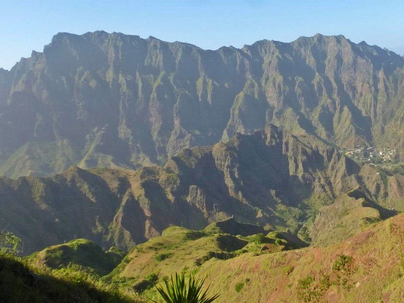
The rugged mountains around the caldera. ©Paliparan

Ponta do Sol

Upon reaching Ribeira Grande, we turned left onto the coastal road towards the town of Ponta do Sol.

Ponta do Sol is the northernmost point not only of Santo Antão but also of the entire Cape Verde archipelago.

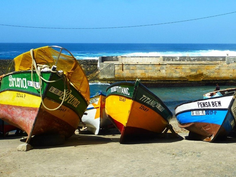
The town has a small fishing port, although no one seemed to be out on their boats today as the sea was quite choppy.

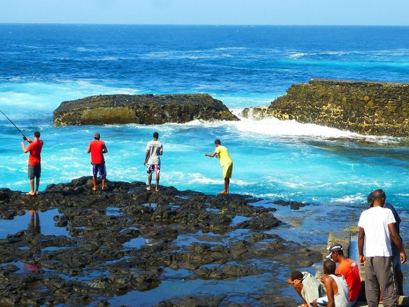
Instead, a large group of locals sat on the rocks, either fishing with some rods or simply relaxing and talking in the sun.

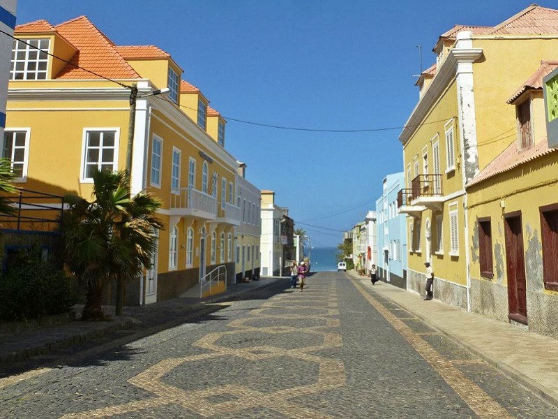
Besides its beautiful setting, the main attraction of Ponta do Sol is its fine Portuguese colonial architecture.

Although Ponta do Sol marks the end of the northern coastal road, there is a stunning path that runs along the mountainous coastline to Cruzinha.

Ponta do Sol Santo Antão Cape Verde
Portuguese colonial houses in Ponta do Sol. ©Paliparan
Ponta do Sol Santo Antão Cape Verde
The small fishing harbour in Ponta do Sol. ©Paliparan
cape verde fishing rocks
Local men fishing on the rocks. ©Paliparan
Ponta do Sol Santo Antão Cape Verde
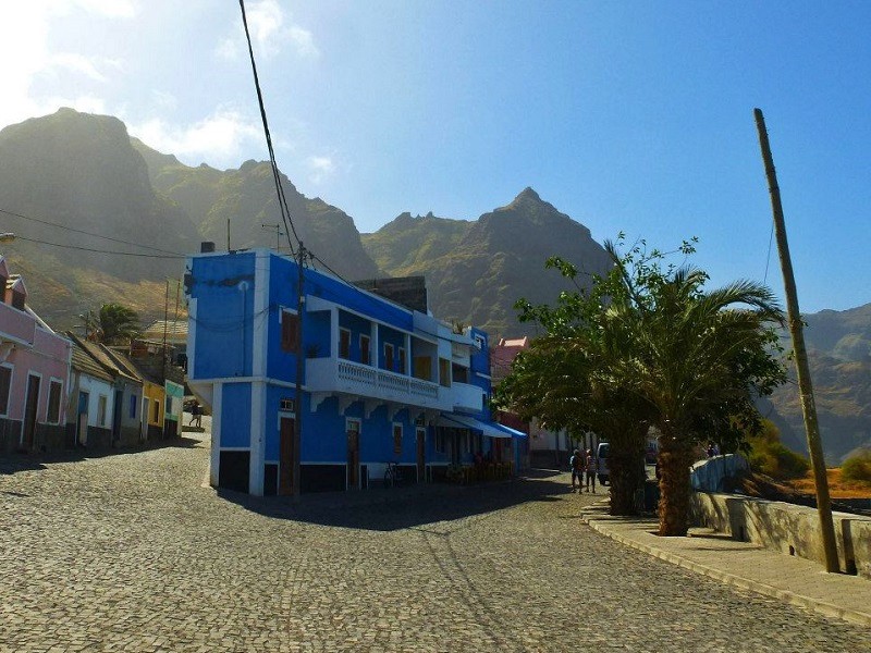
The charming cobblestone streets and colonial houses of Ponta do Sol. ©Paliparan

The northern coastal road

We drove back to Ribeira Grande and continued further on the northern coastal road to Paúl.

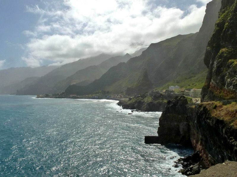
This coastal road is absolutely stunning to drive as well, as you have some sweeping views over the Atlantic Ocean and the steep mountains.
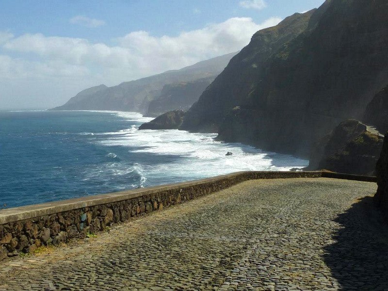
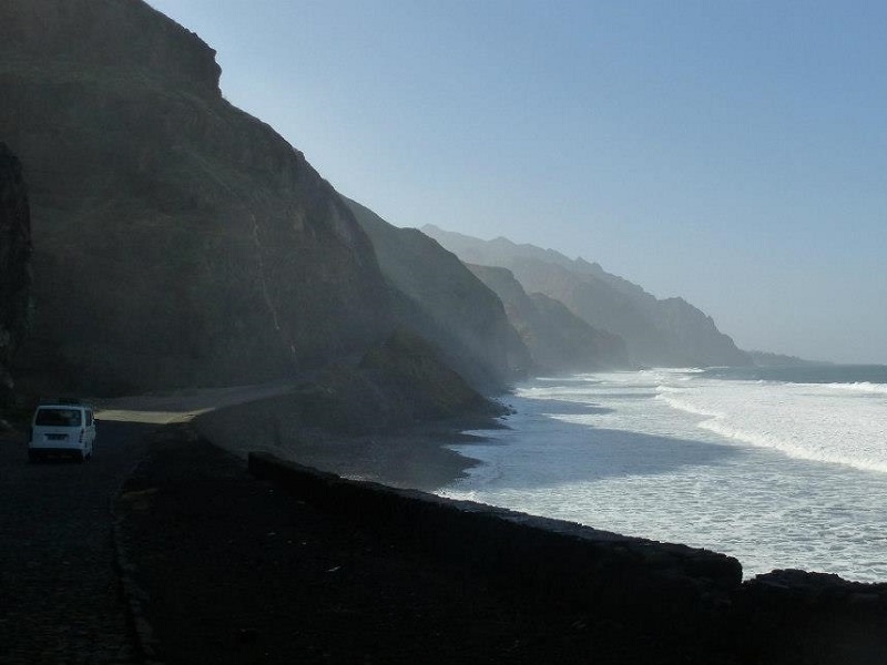
The northern coast of Santo Antão has a completely different character than the southern coast as it feels more wild, with the mountains almost seeming to run down directly into the sea.

While the southern part of the island is arid, the northern half is semi-arid and does receive some rainfall now and then.

This is particularly true for Paúl, our next destination on the island, as it’s the most green and verdant place on Santo Antão.

Santo Antão coastal road Cape Verde
The amazing northern coastal road on Santo Antão. ©Paliparan
nothern coastline Santo Antão
The northern coastline is battered by the powerful waves of the Atlantic Ocean. ©Paliparan
Ribeira Grande Santo Antão Cape Verde
The coastal road around the town of Ribeira Grande. ©Paliparan
Santo Antão paradise island Cape Verde
The wild northern coastline of Santo Antão. ©Paliparan

Paúl Valley

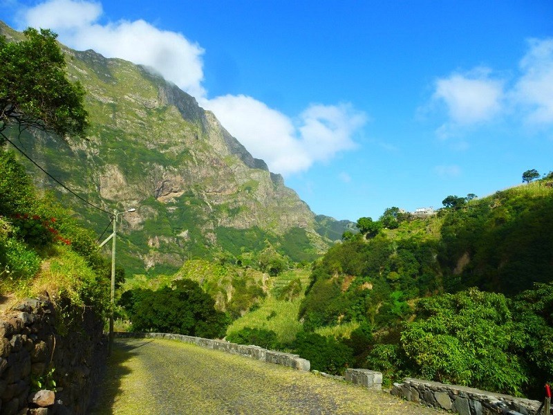
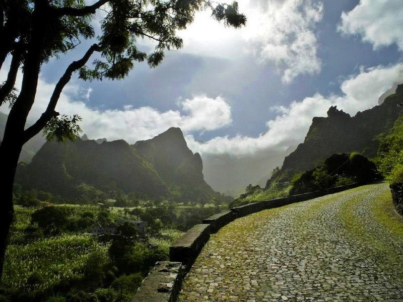
Although it’s hard to beat all the beauty we had witnessed so far on Santo Antão, the landscape in the Paúl Valley (Vale do Paúl) is perhaps even more stunning.

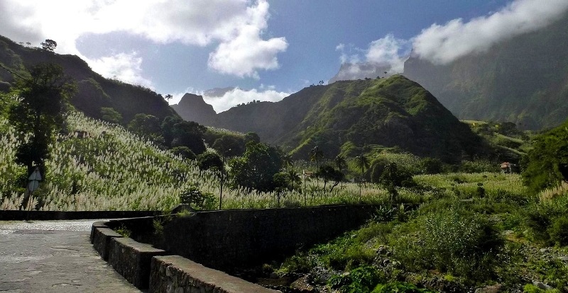
As you leave the coastal road around the island behind and drive into the Paúl Valley, it seems like you’ve entered paradise.

This lush and verdant valley has some of the most fertile soils on the island, and you’ll come across plenty of banana, mango, and papaya trees.

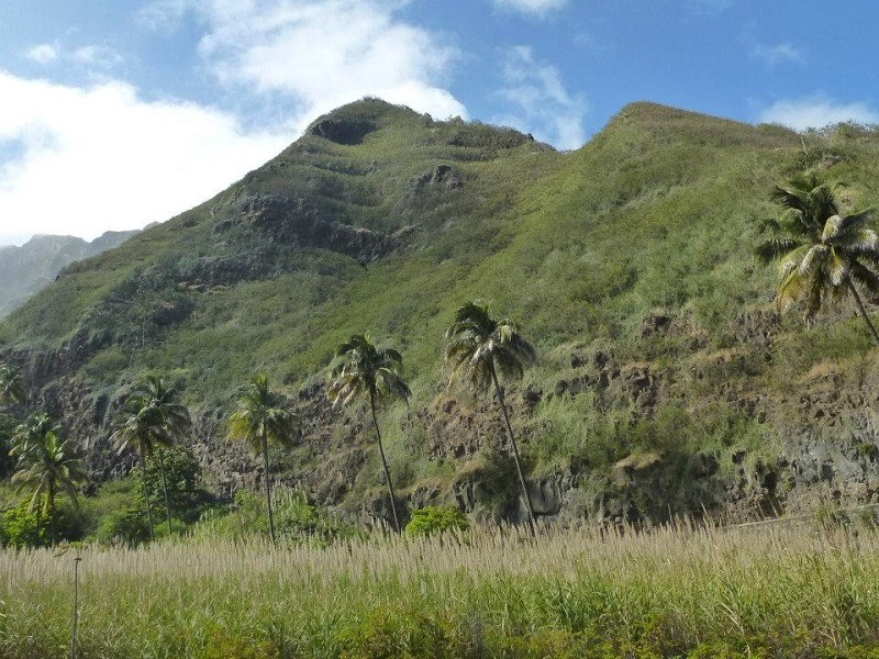
Sugar cane is also widely cultivated across the Paúl Valley, and is used by the locals to produce grogue, a high-alcohol spirit similar to rum or Portuguese aguardente.

Grogue is commonly mixed with lime and molasses in a drink called that is called ponche by the people of Cape Verde.
Paúl Valley Santo Antão island
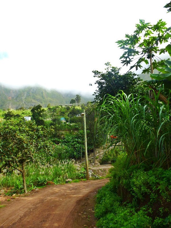
Road in the paradise-like Paúl Valley on the island of Santo Antão. ©Paliparan
Paúl Valley Santo Antão island
Sugarcane is grown in this beautiful valley. ©Paliparan
Paúl Valley, Santo Antão
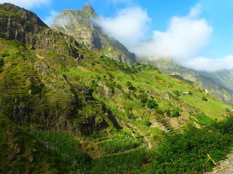
The lush green mountains of the Paúl Valley, Santo Antão. ©Paliparan

A walk in the Paúl Valley

In the Paúl Valley, you’ll find many small accommodation options, ranging from a few luxurious eco lodges to simpler homestays.

Paúl makes for a great base to explore the green valleys and mountains of Santo Antão, as there are many hiking paths starting from the valley.

Indeed, Santo Antão attracts a lot of people into outdoor activities and seems to be an up-and-coming hiking destination.

green island
The green surroundings of the Paúl Valley. ©Paliparan
sand road hike Paúl Valley
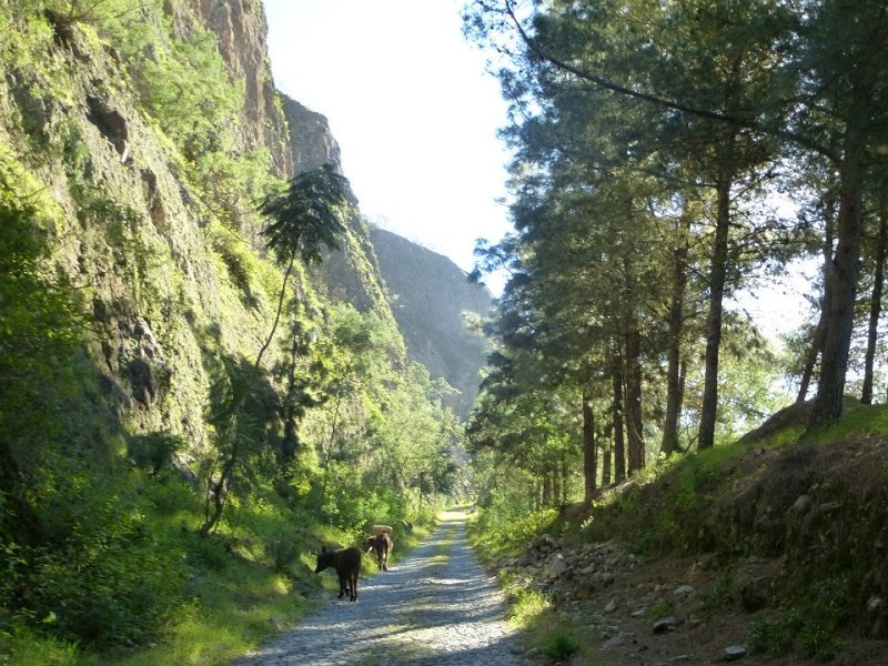
A dirt road in the Paúl Valley. ©Paliparan
Paúl Valley Cape Verde island
Houses in the Paúl Valley. ©Paliparan
Santo Antão Paúl Valley lush green mountains
The lush, green mountains of the Paúl Valley make it one of the most beautiful places on the island of Santo Antão. ©Paliparan

Driving back to Porto Novo

After some hiking fun in the Paúl Valley, we headed back on the coastal road to Porto Novo.
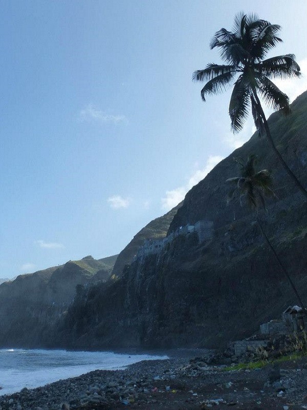
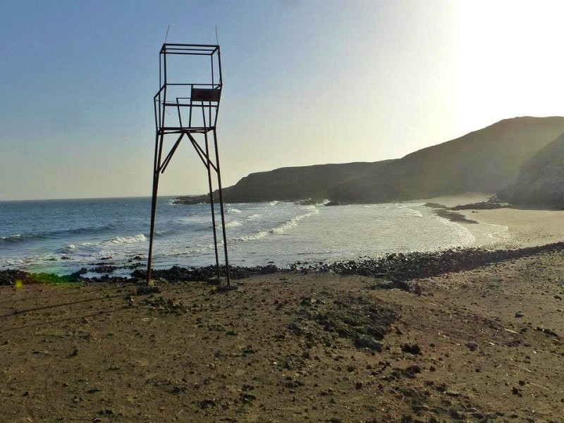
We stopped at a couple of beaches to see if there was a suitable place to swim, but it seems that Santo Antão isn’t the best island for this activity.

With strong waves and unpredictable currents from the Atlantic Ocean, it didn’t seem wise to take a dip in the sea.

Santo Antão island beach
Wild beach on the island of Santo Antão. ©Paliparan
island beach
A beach on the south-eastern side of the island. ©Paliparan

Conclusion

Although our time on the island of Santo Antão was relatively short, I loved every single minute of it.

With its paradise-like natural surroundings, the island of Santo Antão has to be one of the most beautiful places I have ever visited.

For a relatively small island, Santo Antão boasts diverse landscapes, ranging from the arid southern coast to the wild mountainous northern coastline and the lush Paúl Valley.

Santo Antão might not be the easiest place to reach, but the reward is an abundance of natural beauty, some of the most stunning mountain landscapes you’ll ever encounter, friendly people, and excellent homemade food.

Explore some other destinations with us!

In our trip report section, you can find multiple reports of holidays across the world which could give you some inspiration for your next trip.

These trip reports include destination guides as well as reviews of hotels, airlines and other modes of transport.

Our last two featured articles highlighted the Slanic Salt Mine located 208 metres underground in Romania, and Dakar, the bustling capital of Senegal.

Make sure you subscribe to our TwitterFacebook, and Instagram pages in order to receive instant Paliparan updates when a new travel article or flight deal is posted!

Avatar photo

Koen

Koen works as a freelance journalist covering south-eastern Europe and is the founding father and editor-in-chief of Paliparan. As a contributor to some major Fleet Street newspapers and some lesser known publications in the Balkans, he travels thousands of miles each year for work as well as on his personal holidays. Whether it is horse riding in Kyrgyzstan’s Tian Shan mountains, exploring the backstreets of Bogotá, or sipping a glass of moschofilero in a Greek beachside taverna, Koen loves to immerse himself into the local culture, explore new places and eat and drink himself around the world. You can follow Koen on his travels on Twitter, Facebook, or Instagram.

If you enjoyed this travel article and found the information provided useful, please consider supporting us. Although we gladly share all information for free at Paliparan.com, a one-time donation is a great way to help out an independent publisher! You can support Paliparan by buying us a coffee for €5, or by making a donation through PayPal. Thank you for your support!

Leave a Reply

Your email address will not be published. Required fields are marked *

This site uses Akismet to reduce spam. Learn how your comment data is processed.